
10.5: Geographical Routing
- Page ID
- 11210
The classical alternative to provider-based routing is geographical routing; the archetypal model for this is the telephone area code system. A call from anywhere in the US to Loyola University’s main switchboard, 773-274-3000, would traditionally be routed first to the 773 area code in Chicago. From there the call would be routed to the north-side 274 exchange, and from there to subscriber 3000. A similar strategy can be used for IP routing.
Geographical addressing has some advantages. Figuring out a good route to a destination is usually straightforward, and close to optimal in terms of the path physical distance. Changing providers never involves renumbering (though moving may). And approximate IP address geolocation (determining a host’s location from its IP address) is automatic.
Geographical routing has some minor technical problems. First, routing may be inefficient between immediate neighbors A and B that happen to be split by a boundary for larger geographical areas; the path might go from A to the center of A’s region to the center of B’s region and then to B. Another problem is that some larger sites (eg large corporations) are themselves geographically distributed; if efficiency is the goal, each office of such a site would need a separate IP address block appropriate for its physical location.
But the real issue with geographical routing is apparently the business question of who carries the traffic. The provider-based model has a very natural answer to this: every link is owned by a specific provider. For geographical IP routing, my local provider might know at once from the prefix that a packet of mine is to be delivered from Chicago to San Francisco, but who will carry it there? My provider might have to enter into different traffic contracts for multiple different regions. If different local providers make different arrangements for long-haul packet delivery, the routing efficiency (at least in terms of table size) of geographical routing is likely lost. Finally, there is no natural answer for who should own those long inter-region links. It may be useful to recall that the present area-code system was created when the US telephone system was an AT&T monopoly, and the question of who carried traffic did not exist.
That said, the top five Regional Internet Registries represent geographical regions (usually continents), and provider-based addressing is below that level. That is, the IANA handed out address blocks to the geographical RIRs, and the RIRs then allocated address blocks to providers.
At the intercontinental level, geography does matter: some physical link paths are genuinely more expensive than other (shorter) paths. It is much easier to string terrestrial cable than undersea cable. However, within a continent physical distance does not always matter as much as might be supposed. Furthermore, a large geographically spread-out provider can always divide up its address blocks by region, allowing internal geographical routing to the correct region.
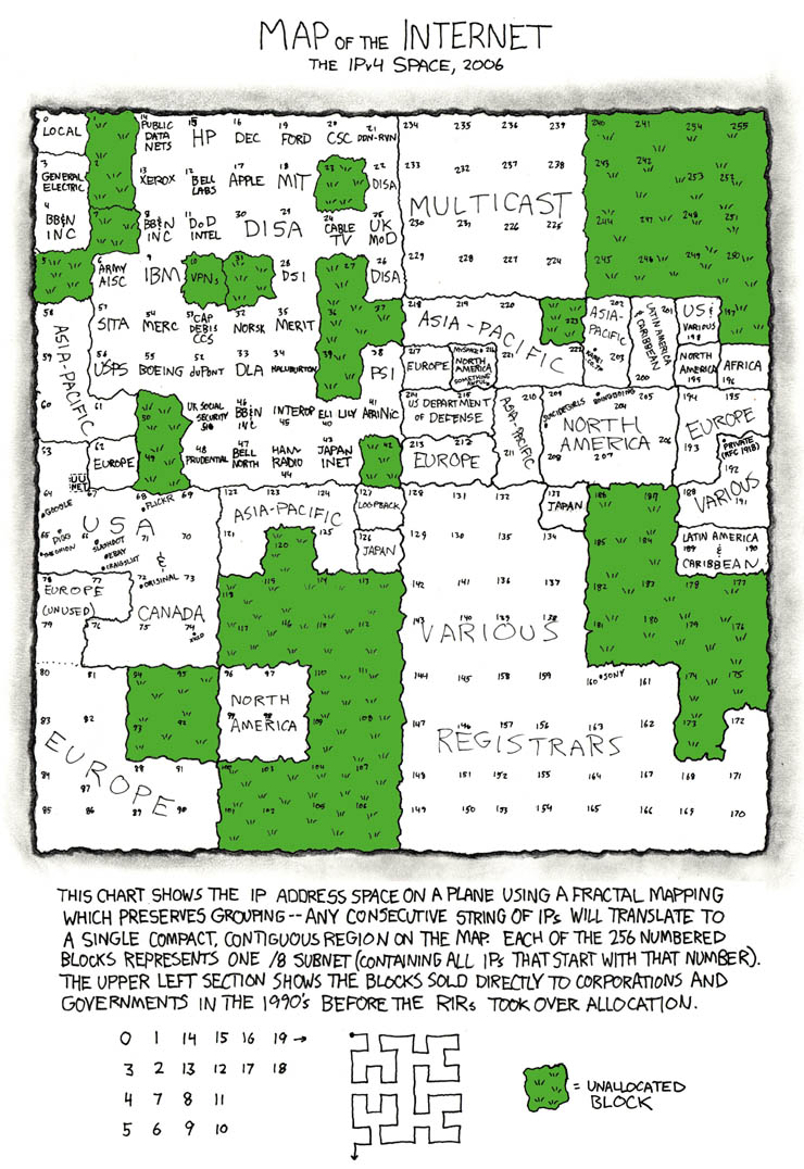
Here is a diagram of IP address allocation as of 2006: http://xkcd.com/195.